
VERTEX AIR CASE STUDIES
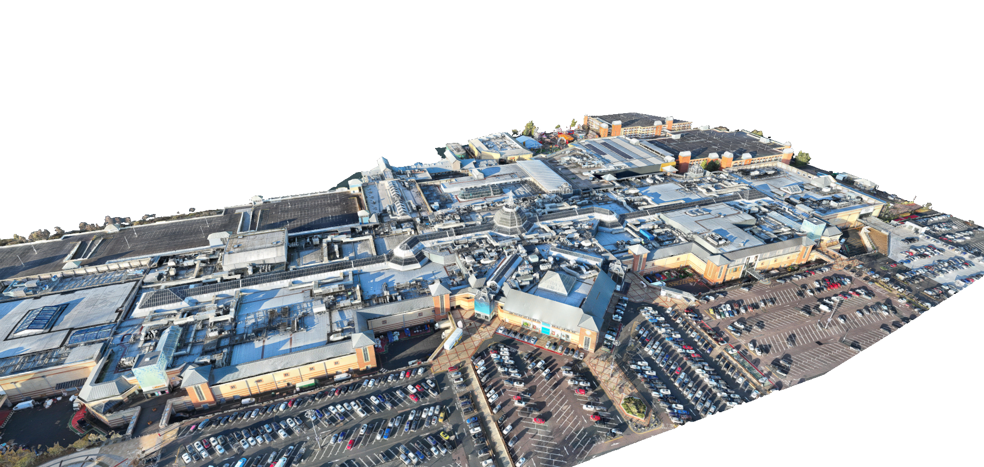
Drone Based Measured Survey for Major Retail Complex Roof
See how our team utilised drone LiDAR to rapidly map an expansive, complex retail roof in Grays, capturing hidden plant equipment for precise AutoCAD planning.
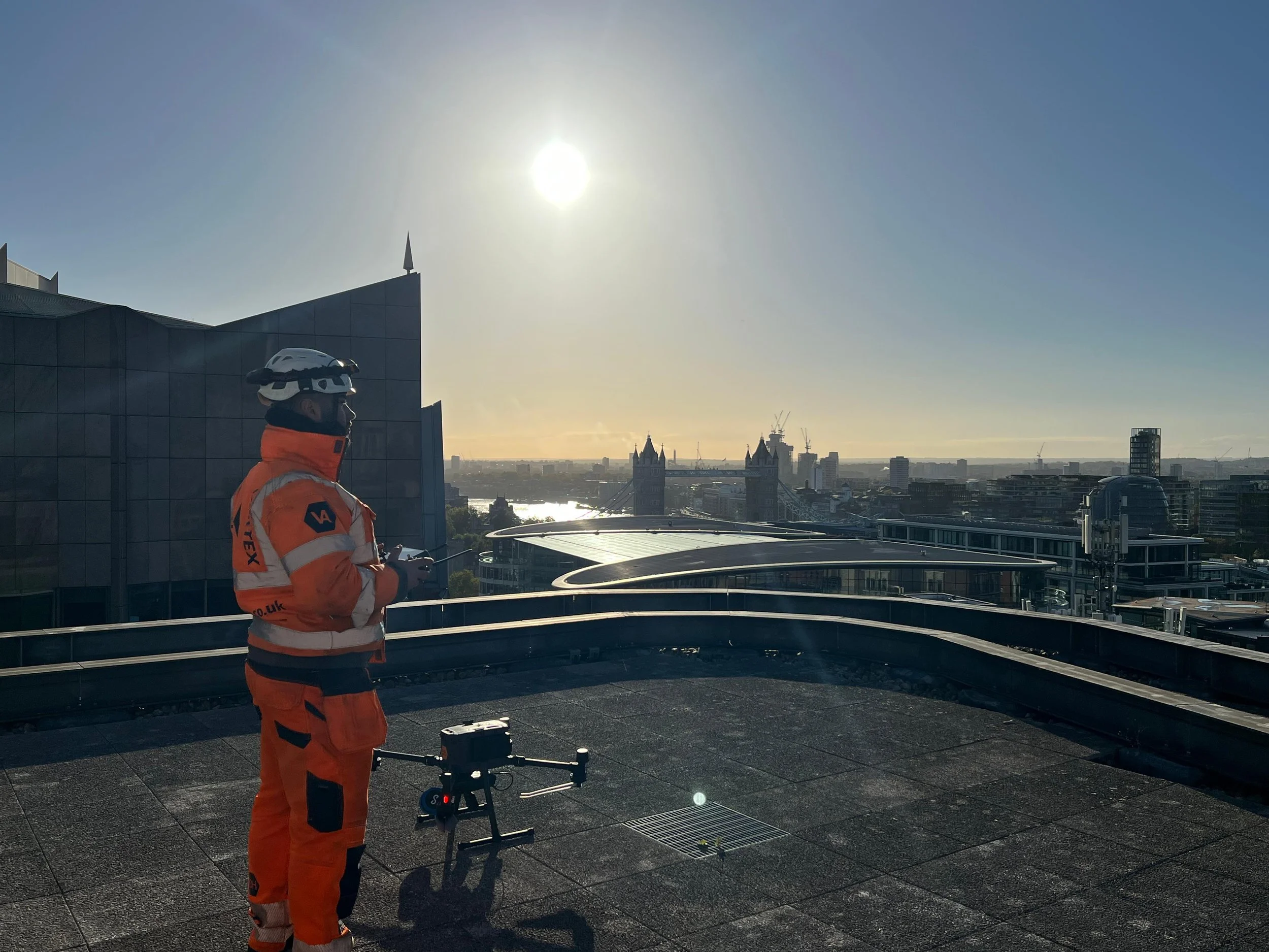
Drone LiDAR Survey for Commercial Rooftop Development in Central London
See how our team navigated complex Central London airspace to safely capture high-level drone LiDAR data for a commercial rooftop restaurant conversion.
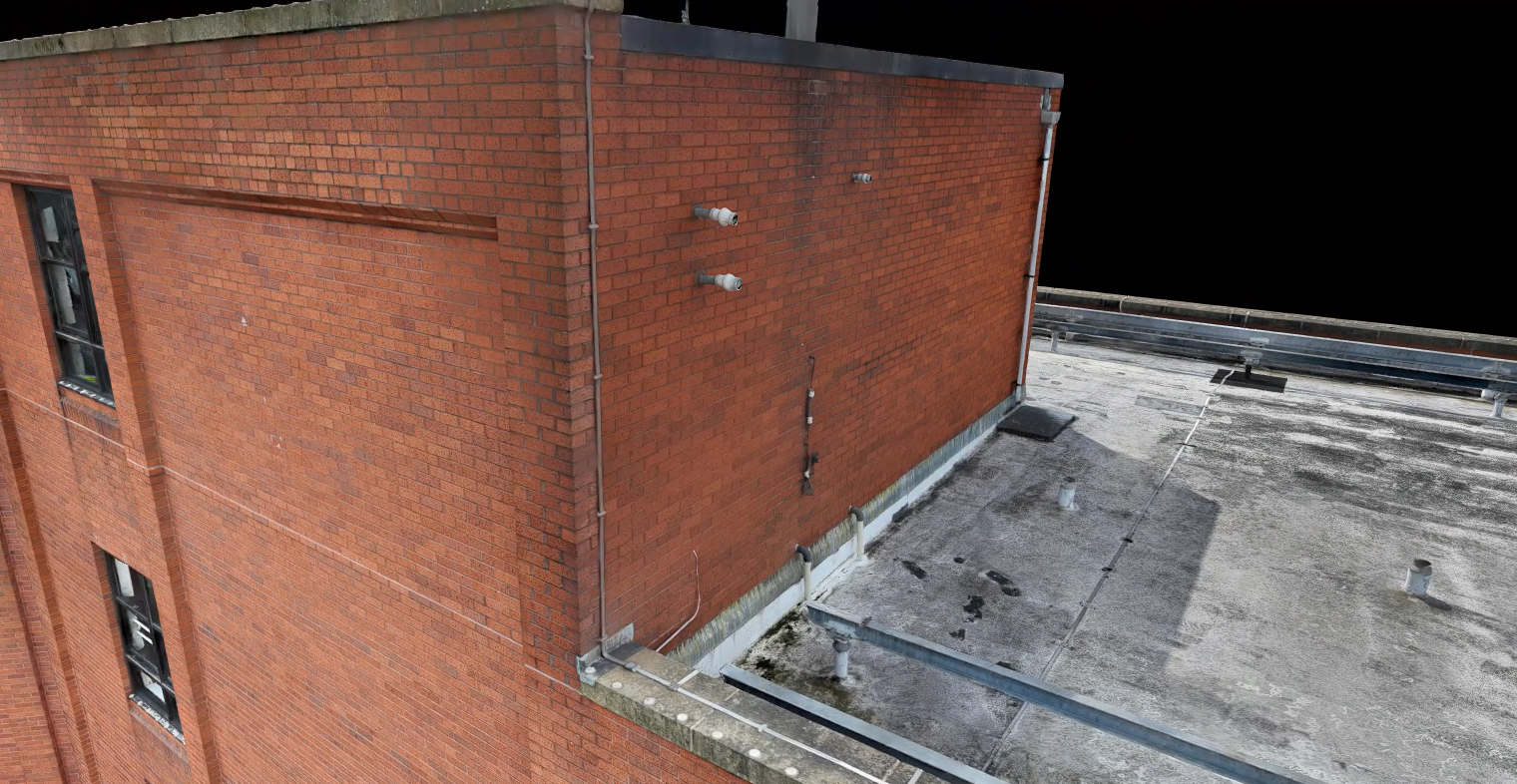
Drone LiDAR & Photogrammetry Survey for Commercial Property
Discover how our surveyors utilised a hybrid approach of drone LiDAR and photogrammetry to generate highly accurate 2D CAD elevations and remote site planning tools for a large commercial office block.