VERTEX AIR
Drone Surveying Experts
As leading specialists with over a decade in the drone survey industry, Vertex Air is a professional and established company providing advanced aerial inspection and surveying solutions.
We offer efficient, economical, and safe drone-based alternatives to traditional methods for a wide range of applications. From detailed building and roof surveys to comprehensive commercial and domestic inspections, advanced thermal imaging, and precise land surveys, Vertex Air delivers high-quality data and actionable insights, ensuring you gain a clear and comprehensive understanding of your assets and projects.
OUR SERVICES
Why Vertex Air?
To ensure that safety is paramount on all our projects, each task is individually analysed, vigorously Risk Assessed (RAMS) and meticulously planned to ensure the safe operation of our services by our team of highly qualified and knowledgeable technicians. Our surveys and inspections are also conducted in accordance with our CAA (Civil Aviation Authority) Approved Operations Manual, and all our drone surveying services are fully insured as standard.
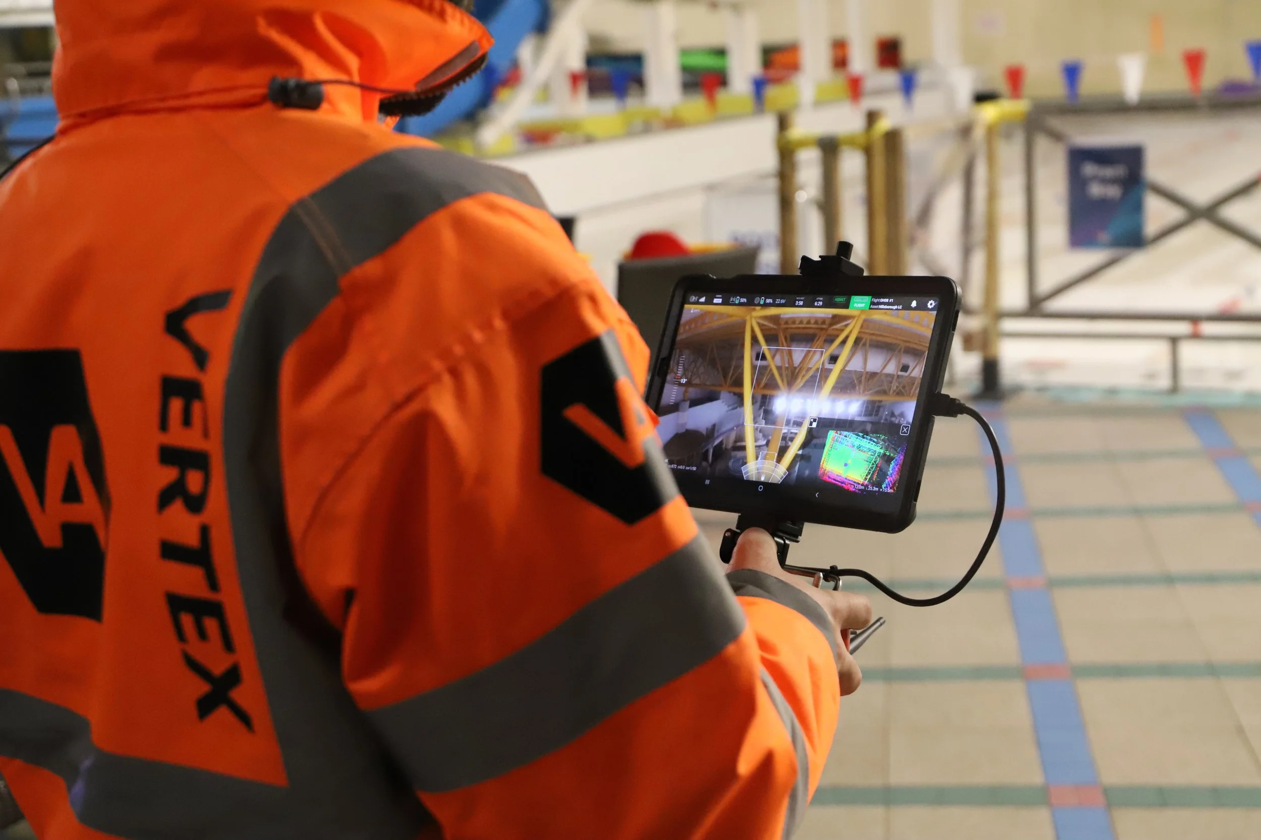
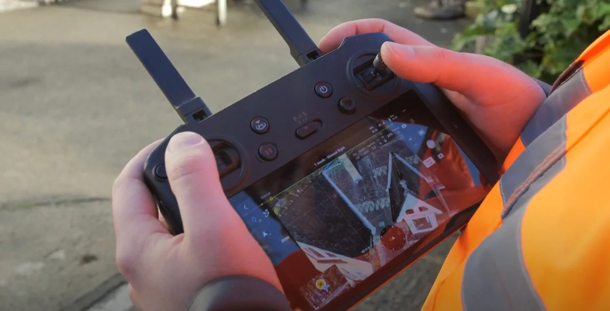
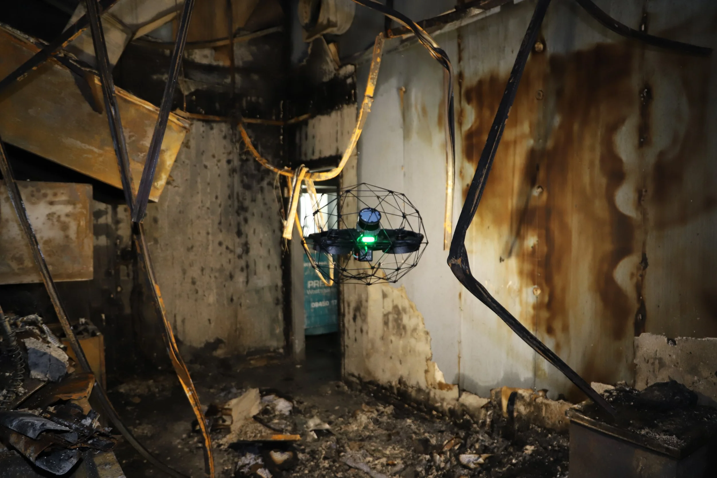
Using state of the art UAV technology, we are able to manoeuvre close to buildings and structures with ease. Our drones can reach awkward sites and enter into risky locations to capture the images you need, without the risks of conventional methods. For projects where other means of access may be unsafe, inappropriate or expensive, our drones are able to swiftly locate your target area and create unbeatable surveys and images, while also avoiding the use of scaffolding, and cherry pickers (MEWPS).
We guarantee our visual inspections are in accordance and in line with the HSE (Health and Safety Executive) Hierarchy of Risk Control, and our projects require no persons to be on site or working at height, ensuring the highest level of safety.
Our advanced drone survey and inspection services provide valuable insights and solutions for a wide range of industries, including:
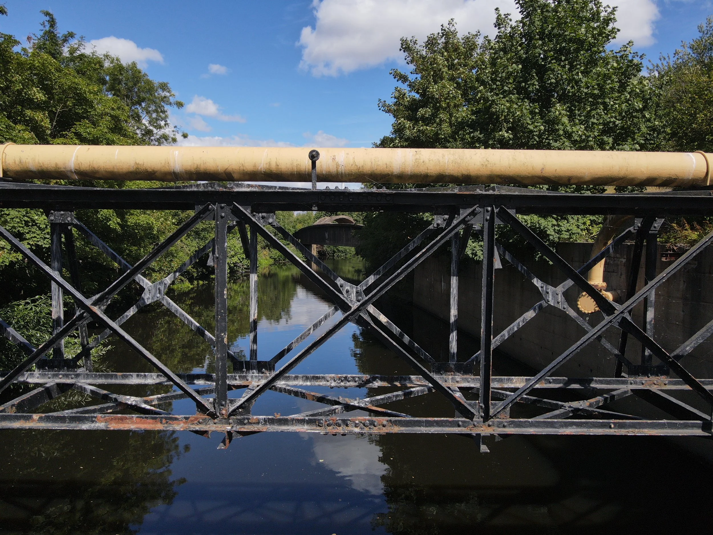
Construction and Infrastructure: Monitoring project progress, inspecting bridges, roads, and railways, conducting structural assessments, and generating detailed site maps.
Property Management: Performing efficient roof and building inspections for maintenance, identifying defects, and creating accurate property condition reports for commercial and residential buildings.
Renewable Energy: Inspecting solar panels and wind turbines for damage and efficiency, ensuring optimal performance and reducing downtime.
Agriculture: Conducting crop health assessments, monitoring irrigation systems, and generating detailed field analysis for improved yields.
Utilities: Inspecting power lines, pipelines, and other critical infrastructure for safety and maintenance purposes, accessing hard-to-reach areas efficiently.
Telecommunications: Inspecting cell towers and communication masts for structural integrity and equipment condition.
Mining and Quarrying: Performing volumetric surveys, monitoring stockpile levels, and assessing site safety.
Environmental Monitoring: Conducting ecological surveys, monitoring coastal erosion, and assessing environmental impact.
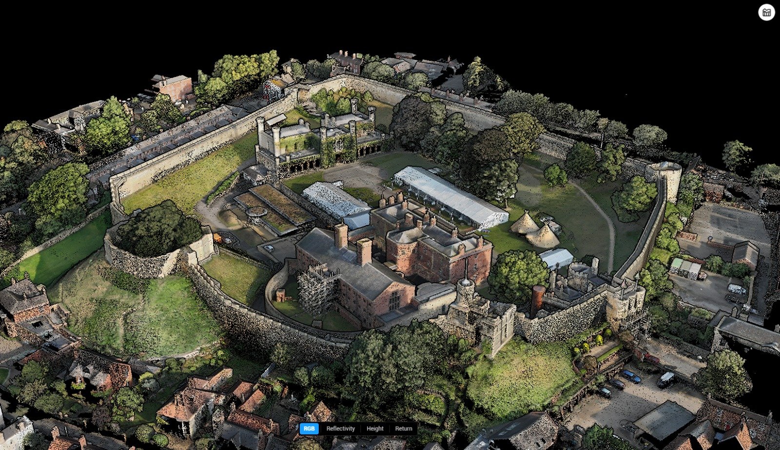
Drone Mounted LiDAR Survey
Get in touch with us to discuss your drone survey needs.
Proven Success: See Our Work in Action


