Aerial Thermal Drone Survey for District Heating Network Leak Detection
Project Snapshot
Sector: Utilities & District Heating
Service: Drone Thermal Imaging
Equipment: M350 with High Resolution Radiometric Thermal Camera
Challenge: Locating multiple suspected underground pipe leaks across a vast urban network without disruptive exploratory digging.
Deliverables: Geotagged Thermal Imagery, RGB Visual Overlay, Expert ITC Level 3 Thermography Analysis
The Challenge
Our client, a major urban utility provider, suspected multiple leaks across their extensive district heating network. Locating a hidden leak in buried pipework is traditionally a slow, expensive process likened to finding a needle in a haystack.
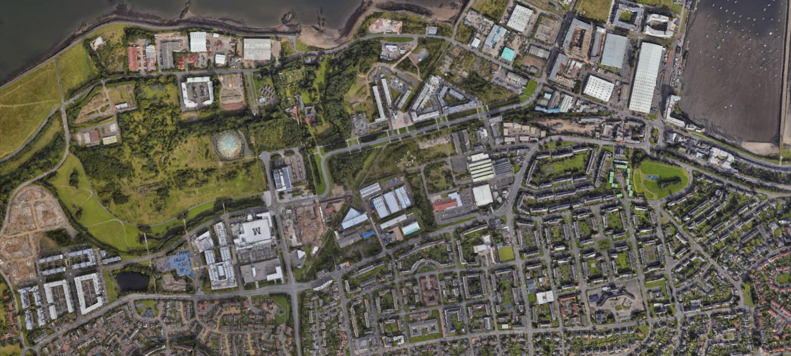
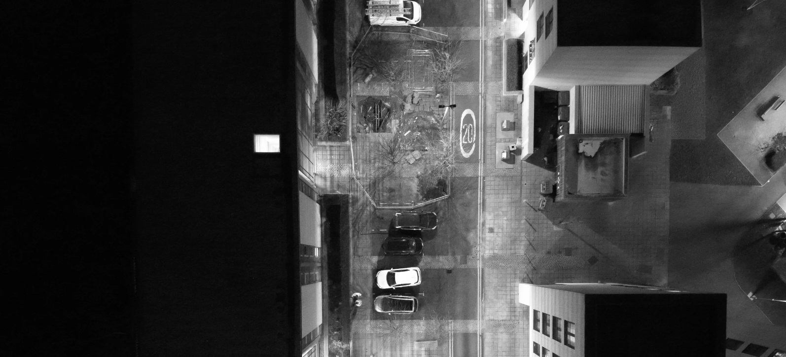
The network spanned miles beneath streets, parks, and industrial areas, making manual ground-level inspections highly impractical. Furthermore, attempting thermal surveys from the ground is often unreliable; the shallow viewing angle provides a poor thermal signature, and the view is frequently blocked by buildings, vehicles, and vegetation, leading to missed leaks. The client urgently needed a solution to rapidly survey the entire route and prevent further wasted energy without resorting to disruptive exploratory digging.
The Vertex Solution
To provide a fast and non-invasive solution, Vertex Air deployed a specialised drone equipped with a high-resolution radiometric thermal camera.
First, we mapped the known route of the subterranean pipes and programmed an automated flight path. Operating from the sky provided the perfect top-down vantage point, entirely bypassing ground-level obstructions. The drone flew over the entire network, capturing thousands of high-resolution thermal and standard visual (RGB) images. To ensure absolute precision, every single image was automatically geotagged with exact GPS coordinates.
The Result
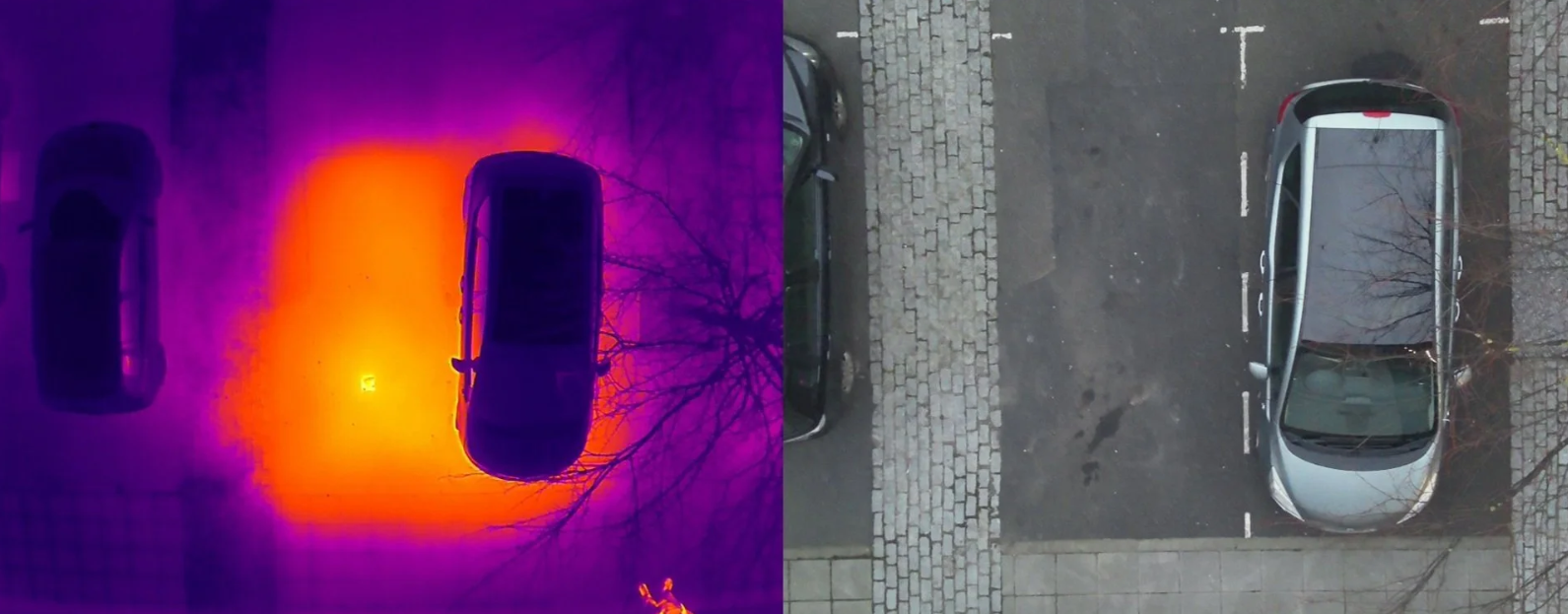
The captured data was handed over to our in-house ITC Level 3 certified thermographer for expert analysis. By meticulously reviewing the data, we identified clear "hot spots" indicating areas where heat from the leaking water was rising and warming the surface above.
Because every thermal anomaly was linked to a geotagged visual image, we cross-referenced the exact real-world locations using landmarks like kerb lines, trees, and manholes. This precise, actionable intelligence allowed the client's repair crews to go directly to the fault sites. By eliminating the need for exploratory excavation, the client rapidly located multiple leaks, drastically reduced their inspection and labour costs, and successfully improved their overall network efficiency with minimal public disruption.